BTP Padang Installed State Asset Signage on the Sungai Lasi-Solok Railway Section
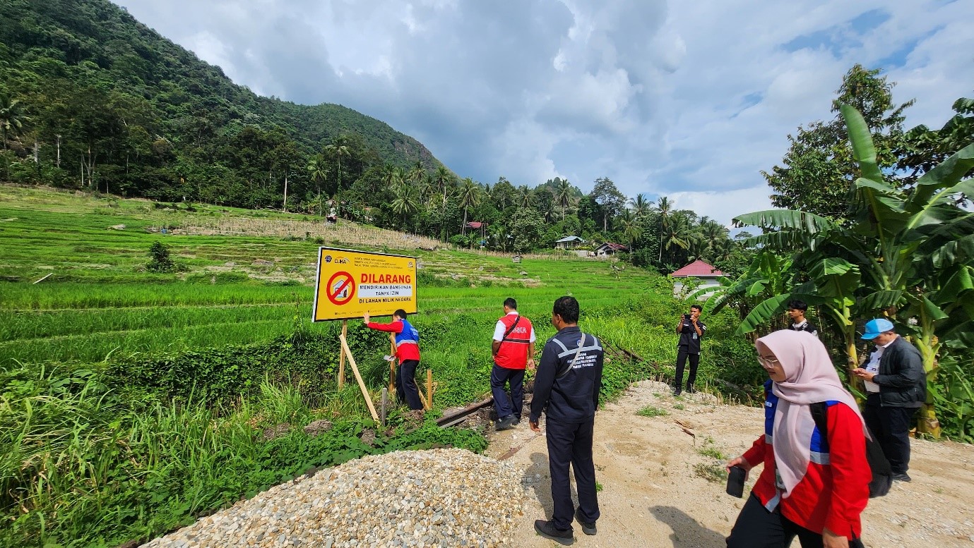
Padang — In an effort to secure state assets within its area of operation, the Padang Class II Railway Technical Office (BTP), through the Sawahlunto Service Unit (Satpel), has installed asset signage at several locations where there is potential for the construction of illegal buildings.
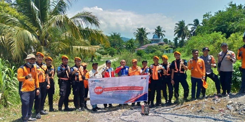
BTP Padang has identified potential illegal structures at five locations that could be built over the railway corridor on the section between Solok Station and Sungai Lasi Station. These locations include KM 134+722, KM 134+810, KM 137+532, KM 135+179, and KM 139+282. In response, the Sawahlunto Service Unit initiated initial socialization efforts using banners and signs with the slogan: "No Building on State Land".
Following data collection by the Sawahlunto Service Unit, socialization was conducted in collaboration with local stakeholders on the issue, including concerns about leasing/contracts with operators and disputes between community members. This follow-up was supported by the local police in enforcing the removal of illegal structures on government land.
It is important to note that state-owned assets are defined in Government Regulation of the Republic of Indonesia No. 57 of 1990, which deals with the transformation of the Railway Department (PERJAN) into the Railway State Enterprise (PERUM). Article 8 stipulates that state assets include essential infrastructure such as railway tracks, crossings, bridges, tunnels, signalling and telecommunications equipment, central power installations, overhead power lines and the land on which these structures are located, as well as land owned by the railway and the benefits from the railway tracks. In addition, the area that must remain free of construction is the rumaja (track clearance zone), which extends six metres to the left and right of the outermost track.
The term rumaja itself, as defined in Article 37 of Law No. 23/2007 on Railways, refers to the railway tracks on the surface of the land, measured from the outer edges of the tracks, including the land on both sides used for the construction of the tracks, facilities for railway operations, and other supporting structures.
Furthermore, the rumija (railway track ownership zone), as defined in Articles 42 (1) and (2) of the same law, refers to the land area on the left and right of the rumaja, which is used for the protection of the railway track construction. Land outside of the rumaja may be used for other purposes, with permission from the track owner, provided it does not pose a risk to the integrity of the railway construction or its operational facilities.



Komentar
LOGIN FOR COMMENT Sign in with Google