


MEASURING THE LRT DEPOT AREA: A FOLLOW-UP ON ASSET SETTLEMENT

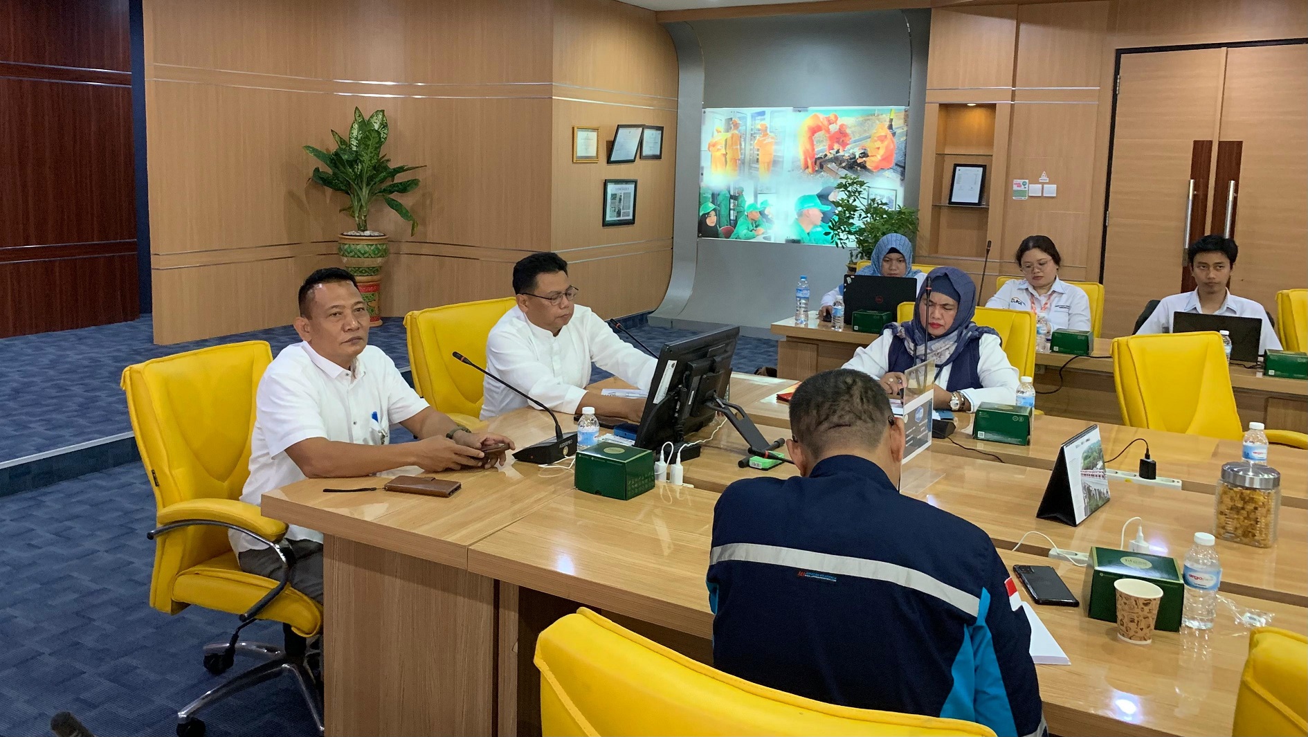
The South Sumatra Light Railway Management Center (BPKARSS) conducted land and asset measurements for the South Sumatra LRT Depot yesterday, 7 November 2023. The measurement was attended by the Banyuasin National Land Agency, the Environmental Agency, the Rambutan Village Head, the South Sumatra Provincial Representative of the Supreme Audit Agency, and the local neighborhood association (RT/RW).
On the occasion of the meeting in the Ampera Meeting Room, Head of the Finance and Administration Subdivision of BPKARSS, Isyul Bahri, said that the measurement was a follow-up to the previous meeting held on Friday7 October 2023. "We already made a timeline. After several meetings, we measured it today," he said.
After giving a brief speech, Isyul expected that the asset constraints that had not been resolved could be effectively carried out. "This is a vital state asset. We want the measurement to be carried out optimally. So that the depot's administrative affairs can be resolved," he said.
Banyuasin BPN Committee A Task Force member, Neni Kartini explained that the measurement was carried out thoroughly from the front of the depot area to the office building. "The certificate issued for government buildings is usually a right-of-use certificate. It's just that the designation is as long as it is used," he said.
Meanwhile, Banyuasin BPN Measurement and Mapping Data Processor Danang said the measurement activity was intended to see the boundaries of the area, which became a vital state object. He admitted that this had been done for a long time, considering that the depot had been there since 2019.
"It is unfortunate that it has not been certified. We also apologize because previously, administrative issues had been delayed," he said. However, this has been resolved from leader to leader. "I am relatively new to handling this. But I was given the task to follow up," he said.
Based on the completion timeline data, after land measurement, it will be followed by land research, the issuance of a title decree, the issuance of a right-to-use certificate, and the submission of a right-to-use certificate.

Komentar
LOGIN FOR COMMENT Sign in with Google